Environmental Mapping
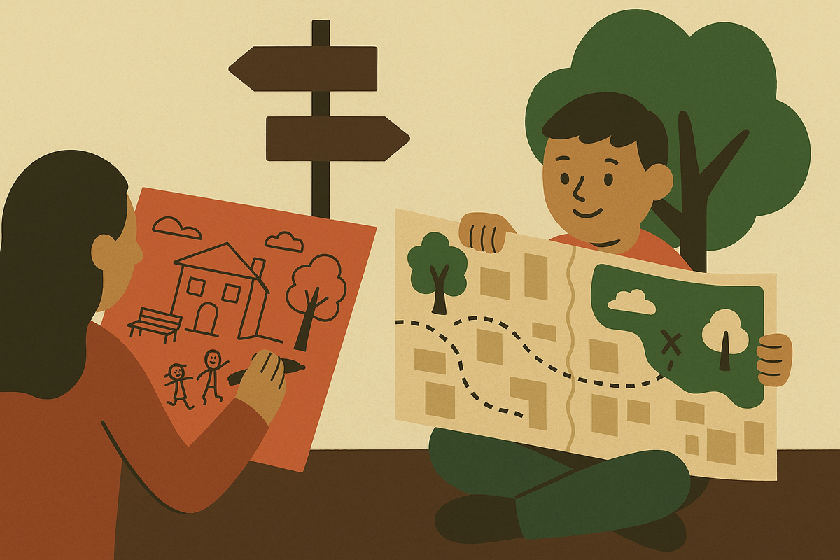
Environmental Mapping is about helping children see the world around them with fresh eyes. By exploring local places and recording what they notice — from green spaces and wildlife to pollution and litter — children learn to observe, question, and make connections between their everyday lives and the wider environment.
This process teaches valuable skills: how to collect evidence, how to work together, and how to consider the impact humans have on the natural world. It encourages critical thinking, creativity, and care for the places we live in.
To support this, we’ve created a set of teaching packs. Each pack provides structured activities, resources, and discussion prompts that you can use in the classroom or outdoors. Whether mapping air quality on the school run, noting biodiversity in the playground, or exploring how local landscapes have changed over time, these packs are designed to make environmental learning active, accessible, and memorable.
Teaching Packs

Environmental Mapping: Connecting with nature
Here's another teaching pack example.